Explore Your Home's Ancient Location with a New Interactive Map
Discover where your home was located 320 million years ago with a new interactive map that reveals the geographical coordinates during the time of Pangea.
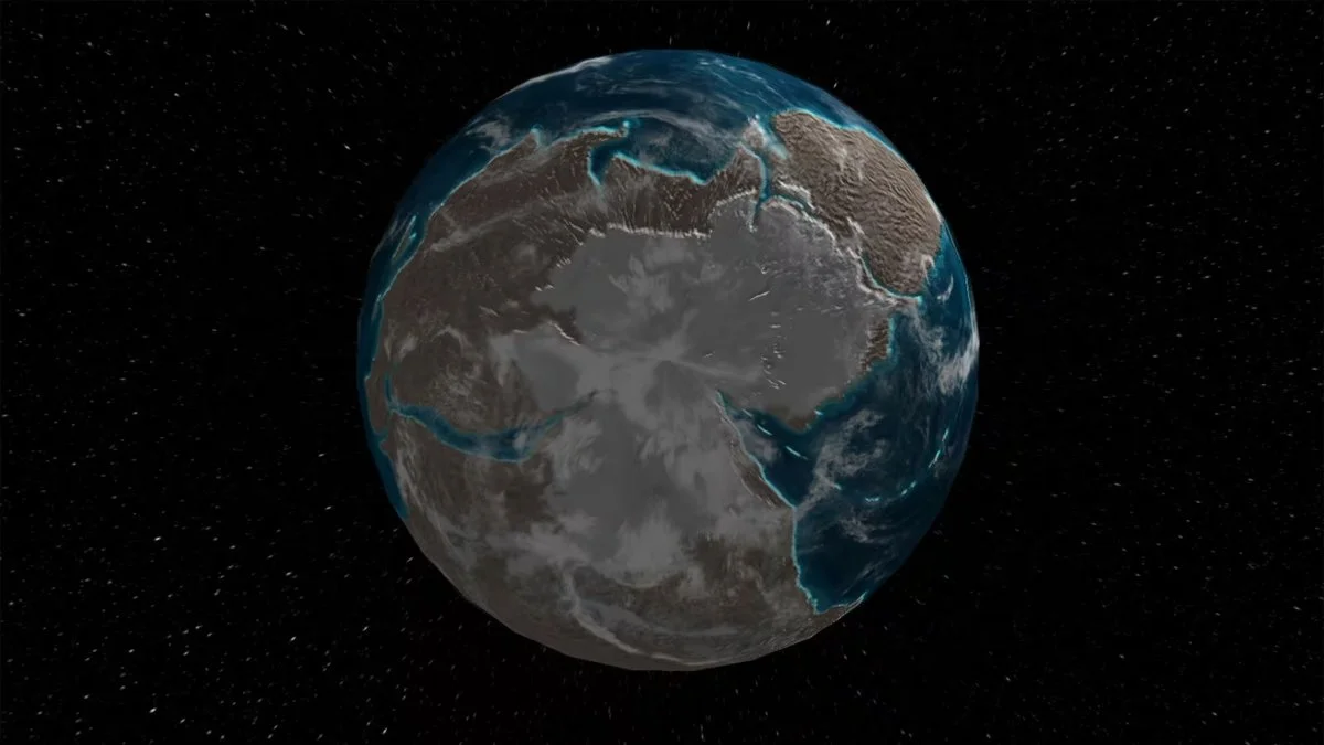
A groundbreaking interactive tool has been developed by an international team of Earth scientists, led by Professor Douwe van Hinsbergen from Utrecht University. This innovative online resource allows users to discover the geographical coordinates of any location on Earth, tracing back to the time of the supercontinent Pangea, approximately 320 million years ago. The foundation of this tool is the Paleogeographic Model of Utrecht, which enables a far more detailed reconstruction of complex mountain ranges and vanished tectonic plates. The unprecedented accuracy of this model opens up numerous possibilities, including the reconstruction of biodiversity development and resilience, laying the groundwork for a deeper understanding of climatic evolution. Users can now find their own 'backyard' through what can be likened to a prehistoric Google Maps.
Latitude and Local Climate
Latitude plays a crucial role in determining the angle of solar rays, which directly influences local climate conditions. Earth scientists working to reconstruct ancient climates from geological records must ascertain the historical positions of these rocks. Often, these locations differ significantly from their current positions due to the substantial movements of tectonic plates. For instance, geoscientists from Utrecht are examining the flora and fauna that existed 245 million years ago in Winterswijk, Netherlands, which thrived in an environment akin to today’s Persian Gulf, characterized by desert and tropical seas. Was this due to a much warmer global climate at the time, or did the Netherlands occupy the same latitude as Arabia? Six years prior, they had already demonstrated that the latter hypothesis was correct.
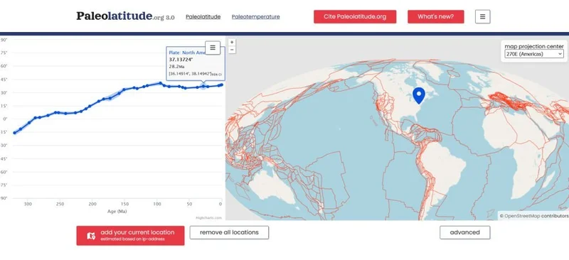
Discover Your Home's Ancient Location
Previously, the geoscientists at Utrecht had attempted to create such reconstructions using a single model. Now, they have introduced a significantly refined model that enhances the resolution of their reconstructions. This new model incorporates the movements of small tectonic plates, along with those of 'lost continents.' These lost landmasses, such as Greater Adria, the Himalaya of Tethys, and Argoland, have left their mark in the form of folded rocks within the mountain ranges of the Mediterranean, Himalayas, and Indonesia, respectively. According to Van Hinsbergen, this means that, for the first time, a truly global model is now available, allowing for the connection of these rocks to their original plates, which have since disappeared into the Earth's mantle. It is now possible to trace the global journey of these rocks.
To explore this 'prehistoric Google Maps,' simply follow these steps:
- Visit Paleolatitude.org;
- Enter a location (or select a point on the map);
- Enjoy your exploration!
For further information, check out the article 'Where was your back yard millions of years ago?' from Utrecht University.